Turning onto NCN3 / NCN33 path
Introduction
The photograph on this page of Turning onto NCN3 / NCN33 path by Kevin Pearson as part of the Geograph project.
The Geograph project started in 2005 with the aim of publishing, organising and preserving representative images for every square kilometre of Great Britain, Ireland and the Isle of Man.

There are currently over 7.5m images from over 14,400 individuals and you can help contribute to the project by visiting https://www.geograph.org.uk
Turning onto NCN3 / NCN33 path
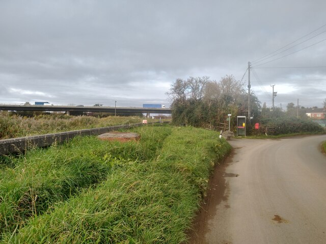
Image: © Kevin Pearson Taken: 8 Nov 2021
The turning onto the NCN3 / NCN33 riverside path from River Lane in Dunwear. The path runs into the centre of Bridgwater, and links with the towpath of the Bridgwater & Taunton Canal. There are no obstructions to access here, but there is a barrier chicane and a low bridge a little further along the path. The path surface is a mix of tarmac and gravel sections and is in generally good repair.
Images are licensed for reuse under creativecommons.org/licenses/by-sa/2.0
Image Location
Latitude
51.113976
Longitude
-2.977965