Heol ger Bwlch-y-gilwen / Road near Bwlch-y-gilwen
Introduction
The photograph on this page of Heol ger Bwlch-y-gilwen / Road near Bwlch-y-gilwen by Alan Richards as part of the Geograph project.
The Geograph project started in 2005 with the aim of publishing, organising and preserving representative images for every square kilometre of Great Britain, Ireland and the Isle of Man.

There are currently over 7.5m images from over 14,400 individuals and you can help contribute to the project by visiting https://www.geograph.org.uk
Heol ger Bwlch-y-gilwen / Road near Bwlch-y-gilwen
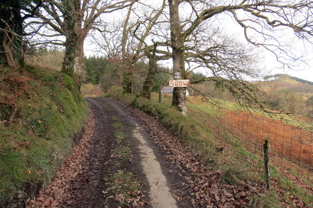
Image: © Alan Richards Taken: 28 Nov 2021
Heol fach ger anhedd-dy o'r enw Bwlch-y-gilwen. A minor road near a property known as Bwlch-y-gilwen (trans. white nook pass)
Images are licensed for reuse under creativecommons.org/licenses/by-sa/2.0
Image Location


Leaflet Map data © OpenStreetMap
Latitude
52.073537
Longitude
-3.944311