Disused level crossing, Barton Drive
Introduction
The photograph on this page of Disused level crossing, Barton Drive by Robin Webster as part of the Geograph project.
The Geograph project started in 2005 with the aim of publishing, organising and preserving representative images for every square kilometre of Great Britain, Ireland and the Isle of Man.

There are currently over 7.5m images from over 14,400 individuals and you can help contribute to the project by visiting https://www.geograph.org.uk
Disused level crossing, Barton Drive
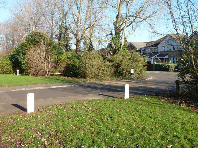
Image: © Robin Webster Taken: 28 Dec 2014
The disused private branch from near Hamble station to an oil installation (currently BP Oil) on Southampton Water crosses here. The track still seems mostly in place but it is heavily overgrown. Double tracks here, a loop on the single line. The white pipeline markers explain why the railway fell out of use.
Images are licensed for reuse under creativecommons.org/licenses/by-sa/2.0
Image Location
Latitude
50.860716
Longitude
-1.321216