View Point Farm on a level part of Colliers Lane
Introduction
The photograph on this page of View Point Farm on a level part of Colliers Lane by Colin S Pearson as part of the Geograph project.
The Geograph project started in 2005 with the aim of publishing, organising and preserving representative images for every square kilometre of Great Britain, Ireland and the Isle of Man.

There are currently over 7.5m images from over 14,400 individuals and you can help contribute to the project by visiting https://www.geograph.org.uk
View Point Farm on a level part of Colliers Lane
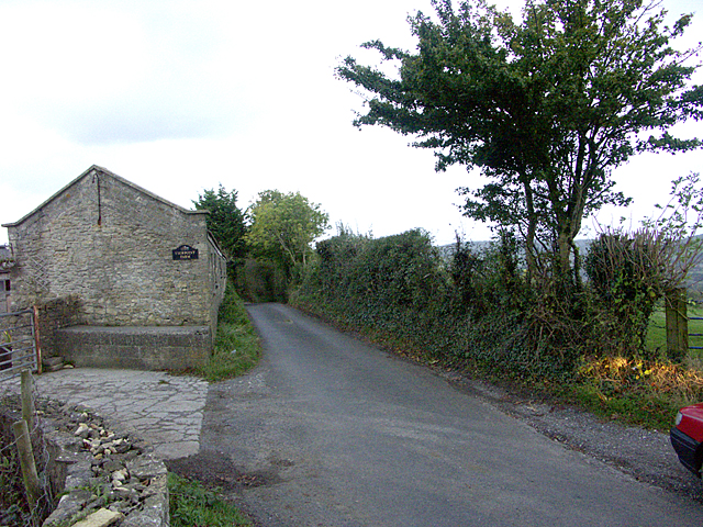
Image: © Colin S Pearson Taken: 25 Oct 2005
In spite of its narrowness, Colliers Lane is used as a short-cut for commuters travelling between the M4 motorway and the north of Bath. View Point Farm is on one of the few level parts of Colliers Lane.
Images are licensed for reuse under creativecommons.org/licenses/by-sa/2.0
Image Location


Leaflet Map data © OpenStreetMap
Latitude
51.40686
Longitude
-2.363686