Field by Furzeleigh Lane
Introduction
The photograph on this page of Field by Furzeleigh Lane by Derek Harper as part of the Geograph project.
The Geograph project started in 2005 with the aim of publishing, organising and preserving representative images for every square kilometre of Great Britain, Ireland and the Isle of Man.

There are currently over 7.5m images from over 14,400 individuals and you can help contribute to the project by visiting https://www.geograph.org.uk
Field by Furzeleigh Lane
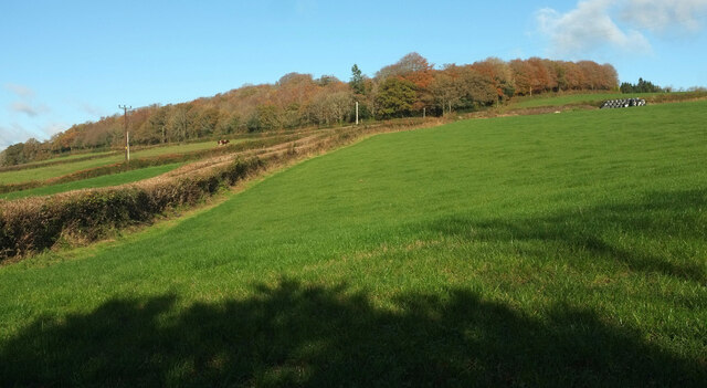
Image: © Derek Harper Taken: 21 Nov 2021
On the left, the double hedge marks the line of the green lane shown in Image In the centre it joins Furzeleigh Lane to climb to Bearacleave Wood.
Images are licensed for reuse under creativecommons.org/licenses/by-sa/2.0
Image Location
Latitude
50.600516
Longitude
-3.671546