Myrtle Grove
Introduction
The photograph on this page of Myrtle Grove by Ian Capper as part of the Geograph project.
The Geograph project started in 2005 with the aim of publishing, organising and preserving representative images for every square kilometre of Great Britain, Ireland and the Isle of Man.

There are currently over 7.5m images from over 14,400 individuals and you can help contribute to the project by visiting https://www.geograph.org.uk
Myrtle Grove
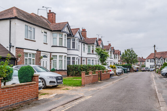
Image: © Ian Capper Taken: 25 Sep 2021
Cul-de-sac extension of Moor Street, first shown on the 1939 25 inch map, suggesting a building date of the 1920s or 1930s.
Images are licensed for reuse under creativecommons.org/licenses/by-sa/2.0
Image Location
Latitude
52.40088
Longitude
-1.534918