West end of Croft Road as it joins Fairfield Road
Introduction
The photograph on this page of West end of Croft Road as it joins Fairfield Road by Colin S Pearson as part of the Geograph project.
The Geograph project started in 2005 with the aim of publishing, organising and preserving representative images for every square kilometre of Great Britain, Ireland and the Isle of Man.

There are currently over 7.5m images from over 14,400 individuals and you can help contribute to the project by visiting https://www.geograph.org.uk
West end of Croft Road as it joins Fairfield Road
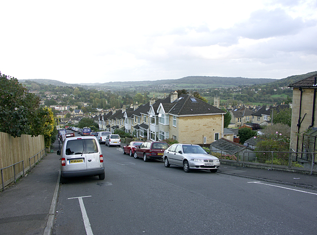
Image: © Colin S Pearson Taken: 25 Oct 2005
Looking east-north-east down Croft Road at its junction with Fairfield Road. The church beyond the roof on the right is St. Saviour's Church http://www.stsaviours.org.uk/ and is almost directly east of the camera.
Images are licensed for reuse under creativecommons.org/licenses/by-sa/2.0
Image Location
Latitude
51.396105
Longitude
-2.352102