Shaftesbury Road
Introduction
The photograph on this page of Shaftesbury Road by Ian Capper as part of the Geograph project.
The Geograph project started in 2005 with the aim of publishing, organising and preserving representative images for every square kilometre of Great Britain, Ireland and the Isle of Man.

There are currently over 7.5m images from over 14,400 individuals and you can help contribute to the project by visiting https://www.geograph.org.uk
Shaftesbury Road
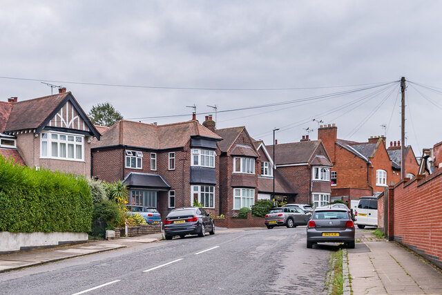
Image: © Ian Capper Taken: 25 Sep 2021
Road laid out in 1891. The semi-detached pair of houses in the right background of this photo is one of a group shown on the 1906 25 inch map (but marked as revised in 1894), suggesting these were the initial development. The nearer houses are not shown until the 1940 edition, suggesting a building date of the 1920s or 1930s.
Images are licensed for reuse under creativecommons.org/licenses/by-sa/2.0
Image Location
Latitude
52.398714
Longitude
-1.537233