The Manifold Trail north of Brund
Introduction
The photograph on this page of The Manifold Trail north of Brund by Tim Heaton as part of the Geograph project.
The Geograph project started in 2005 with the aim of publishing, organising and preserving representative images for every square kilometre of Great Britain, Ireland and the Isle of Man.

There are currently over 7.5m images from over 14,400 individuals and you can help contribute to the project by visiting https://www.geograph.org.uk
The Manifold Trail north of Brund
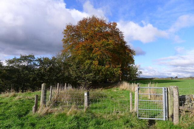
Image: © Tim Heaton Taken: 3 Nov 2021
Our walk along Tom Lawton's circa 110 mile route 'Walking Around the Peak District' (Brockhampton Press, 1998) has now re-joined the Manifold Trail.
Images are licensed for reuse under creativecommons.org/licenses/by-sa/2.0
Image Location
Latitude
53.15055
Longitude
-1.854921