Beechwood Avenue
Introduction
The photograph on this page of Beechwood Avenue by Ian Capper as part of the Geograph project.
The Geograph project started in 2005 with the aim of publishing, organising and preserving representative images for every square kilometre of Great Britain, Ireland and the Isle of Man.

There are currently over 7.5m images from over 14,400 individuals and you can help contribute to the project by visiting https://www.geograph.org.uk
Beechwood Avenue
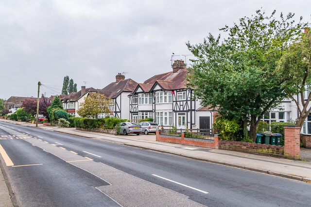
Image: © Ian Capper Taken: 25 Sep 2021
Road developed out of an old track named Whor Lane, first shown as Beechwood Avenue on the 1913 25 inch map. The houses here are first marked on the 1940 25 inch map, suggesting a building date of the 1920s or 1930s.
Images are licensed for reuse under creativecommons.org/licenses/by-sa/2.0
Image Location


Leaflet Map data © OpenStreetMap
Latitude
52.39852
Longitude
-1.538147