Field and motorway cutting
Introduction
The photograph on this page of Field and motorway cutting by Richard Law as part of the Geograph project.
The Geograph project started in 2005 with the aim of publishing, organising and preserving representative images for every square kilometre of Great Britain, Ireland and the Isle of Man.

There are currently over 7.5m images from over 14,400 individuals and you can help contribute to the project by visiting https://www.geograph.org.uk
Field and motorway cutting
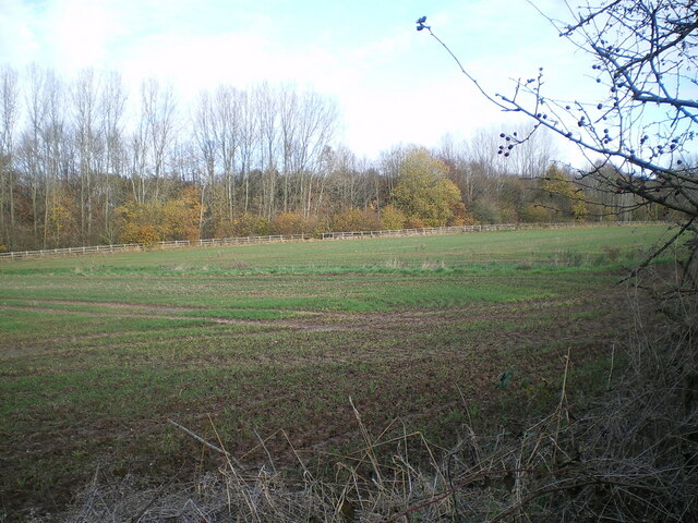
Image: © Richard Law Taken: 24 Nov 2021
The open field here serves to distance the most northerly houses on Admirals Park from the M54 motorway, which runs in the cutting with the trees at the far side.
Images are licensed for reuse under creativecommons.org/licenses/by-sa/2.0
Image Location
Latitude
52.676691
Longitude
-2.367641