King Street, Aldeburgh
Introduction
The photograph on this page of King Street, Aldeburgh by Jonathan Billinger as part of the Geograph project.
The Geograph project started in 2005 with the aim of publishing, organising and preserving representative images for every square kilometre of Great Britain, Ireland and the Isle of Man.

There are currently over 7.5m images from over 14,400 individuals and you can help contribute to the project by visiting https://www.geograph.org.uk
King Street, Aldeburgh
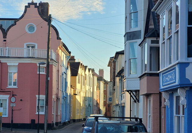
Image: © Jonathan Billinger Taken: 23 Nov 2021
The gable end on the left shows the Dutch influence on the architecture of parts of the town.
Images are licensed for reuse under creativecommons.org/licenses/by-sa/2.0
Image Location
Latitude
52.15038
Longitude
1.601504