Stoke-by-Clare: Green Farmhouse
Introduction
The photograph on this page of Stoke-by-Clare: Green Farmhouse by John Sutton as part of the Geograph project.
The Geograph project started in 2005 with the aim of publishing, organising and preserving representative images for every square kilometre of Great Britain, Ireland and the Isle of Man.

There are currently over 7.5m images from over 14,400 individuals and you can help contribute to the project by visiting https://www.geograph.org.uk
Stoke-by-Clare: Green Farmhouse
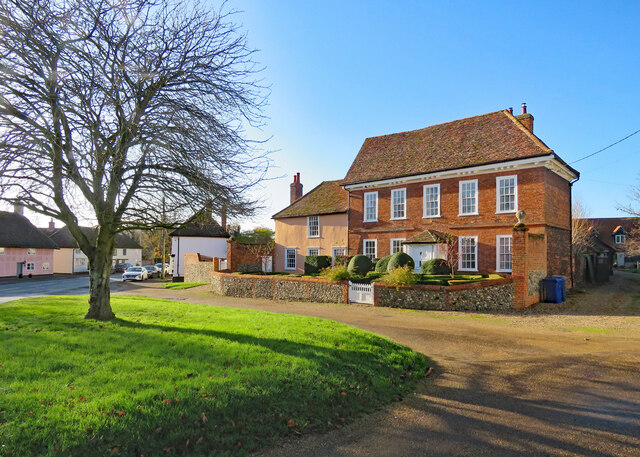
Image: © John Sutton Taken: 25 Nov 2021
Green Farmhouse is a Grade II* listed 18th-century house, "probably with an earlier core and rear" according to the listing text. Colours were intense on a bright late-November morning.
Images are licensed for reuse under creativecommons.org/licenses/by-sa/2.0
Image Location
Latitude
52.063399
Longitude
0.539065