Palmerston Road
Introduction
The photograph on this page of Palmerston Road by Ian Capper as part of the Geograph project.
The Geograph project started in 2005 with the aim of publishing, organising and preserving representative images for every square kilometre of Great Britain, Ireland and the Isle of Man.

There are currently over 7.5m images from over 14,400 individuals and you can help contribute to the project by visiting https://www.geograph.org.uk
Palmerston Road
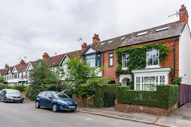
Image: © Ian Capper Taken: 25 Sep 2021
Houses in Palmerston Road. No 41, with the name Thirlmere above the door, is first shown on the 1906 25 inch map, suggesting it dates from around the turn of the 19th/20th Centuries. The other houses would appear to be from the c.1920s/30s, not appearing until the 1940 edition.
Images are licensed for reuse under creativecommons.org/licenses/by-sa/2.0
Image Location
Latitude
52.396569
Longitude
-1.533596