East end of Grosvenor Road, Hiltingbury
Introduction
The photograph on this page of East end of Grosvenor Road, Hiltingbury by Christine Johnstone as part of the Geograph project.
The Geograph project started in 2005 with the aim of publishing, organising and preserving representative images for every square kilometre of Great Britain, Ireland and the Isle of Man.

There are currently over 7.5m images from over 14,400 individuals and you can help contribute to the project by visiting https://www.geograph.org.uk
East end of Grosvenor Road, Hiltingbury
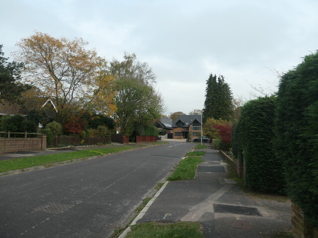
Image: © Christine Johnstone Taken: 8 Nov 2021
Planned and mapped in the 1930s, but no houses were built until after 1945. Looking towards the junction with Kingsway.
Images are licensed for reuse under creativecommons.org/licenses/by-sa/2.0
Image Location
Latitude
50.997207
Longitude
-1.36668