The north end of Saltaire Road
Introduction
The photograph on this page of The north end of Saltaire Road by Stephen Craven as part of the Geograph project.
The Geograph project started in 2005 with the aim of publishing, organising and preserving representative images for every square kilometre of Great Britain, Ireland and the Isle of Man.

There are currently over 7.5m images from over 14,400 individuals and you can help contribute to the project by visiting https://www.geograph.org.uk
The north end of Saltaire Road
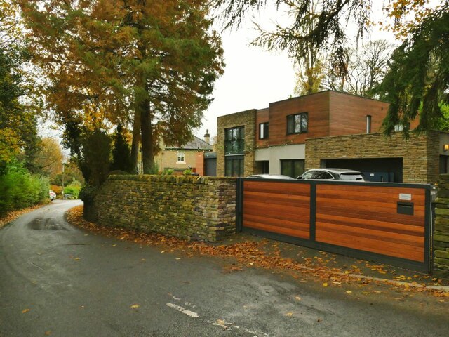
Image: © Stephen Craven Taken: 16 Nov 2021
The name of the road is misleading, because although you can get to Saltaire this way, it's only on foot. It is part of the Welcome Way. The modernist house on the right is called Xantara.
Images are licensed for reuse under creativecommons.org/licenses/by-sa/2.0
Image Location
Latitude
53.860482
Longitude
-1.810669