The west end of Lode Pit Lane
Introduction
The photograph on this page of The west end of Lode Pit Lane by Stephen Craven as part of the Geograph project.
The Geograph project started in 2005 with the aim of publishing, organising and preserving representative images for every square kilometre of Great Britain, Ireland and the Isle of Man.

There are currently over 7.5m images from over 14,400 individuals and you can help contribute to the project by visiting https://www.geograph.org.uk
The west end of Lode Pit Lane
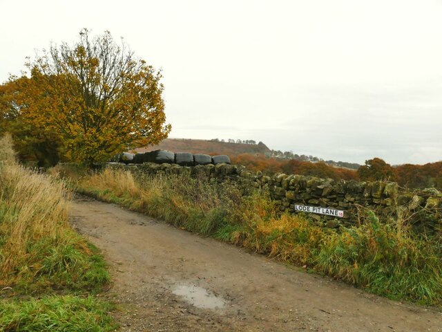
Image: © Stephen Craven Taken: 16 Nov 2021
There is a spot height on the map of 161 metres at this point. Compare Image taken only a short way further along the lane in January of the same year to show the difference between a wet winter and dry autumn on a track like this. The 1908 map shows a former smelting works at the end of the lane with a quarry nearby; this may be the origin of the name, as lodestone is a name for a magnetic mineral found in iron ore.
Images are licensed for reuse under creativecommons.org/licenses/by-sa/2.0
Image Location
Latitude
53.852932
Longitude
-1.810247