Irongray Station
Introduction
The photograph on this page of Irongray Station by Chris Newman as part of the Geograph project.
The Geograph project started in 2005 with the aim of publishing, organising and preserving representative images for every square kilometre of Great Britain, Ireland and the Isle of Man.

There are currently over 7.5m images from over 14,400 individuals and you can help contribute to the project by visiting https://www.geograph.org.uk
Irongray Station
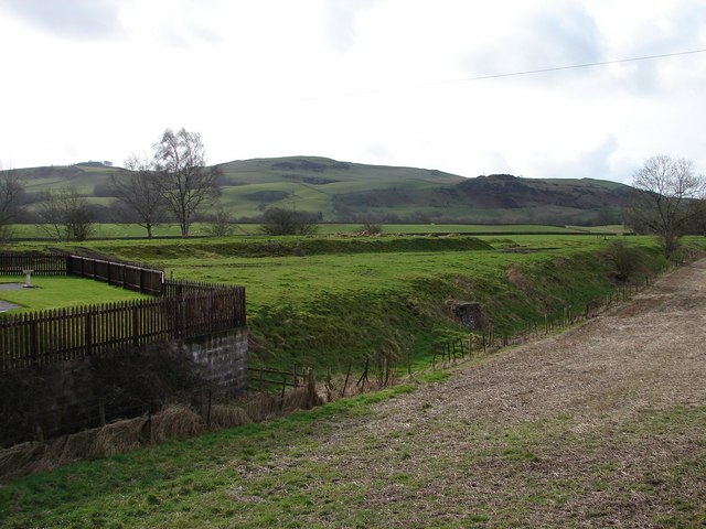
Image: © Chris Newman Taken: 24 Feb 2008
Traces of the single platform Irongray Station and track of the Cairn Valley Railway (Dumfries-Moniave 1905-1949). Beyond rises Hall Hill.
Images are licensed for reuse under creativecommons.org/licenses/by-sa/2.0
Image Location
Latitude
55.105973
Longitude
-3.698129