River Bain
Introduction
The photograph on this page of River Bain by Richard Croft as part of the Geograph project.
The Geograph project started in 2005 with the aim of publishing, organising and preserving representative images for every square kilometre of Great Britain, Ireland and the Isle of Man.

There are currently over 7.5m images from over 14,400 individuals and you can help contribute to the project by visiting https://www.geograph.org.uk
River Bain
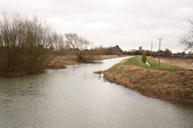
Image: © Richard Croft Taken: 23 Feb 2008
Looking east on the River Bain from Tattershall sluice towards Coningsby, with the tower of St.Michael's church http://www.geograph.org.uk/photo/118969 on the horizon
Images are licensed for reuse under creativecommons.org/licenses/by-sa/2.0
Image Location


Leaflet Map data © OpenStreetMap
Latitude
53.104306
Longitude
-0.181815