York Street, Belfast (1)
Introduction
The photograph on this page of York Street, Belfast (1) by Albert Bridge as part of the Geograph project.
The Geograph project started in 2005 with the aim of publishing, organising and preserving representative images for every square kilometre of Great Britain, Ireland and the Isle of Man.

There are currently over 7.5m images from over 14,400 individuals and you can help contribute to the project by visiting https://www.geograph.org.uk
York Street, Belfast (1)
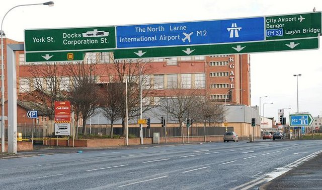
Image: © Albert Bridge Taken: 24 Feb 2008
The view outwards along York Street at the York Link. The Westlink Image is just out of sight to the left. The red building in the background is the Yorkgate shopping centre. It was formerly part of a much larger Gallagher’s tobacco factory. (The Google map is not entirely accurate here).
Images are licensed for reuse under creativecommons.org/licenses/by-sa/2.0
Image Location


Leaflet Map data © OpenStreetMap
Latitude
54.607851
Longitude
-5.925824