New House Farm, Brund
Introduction
The photograph on this page of New House Farm, Brund by Tim Heaton as part of the Geograph project.
The Geograph project started in 2005 with the aim of publishing, organising and preserving representative images for every square kilometre of Great Britain, Ireland and the Isle of Man.

There are currently over 7.5m images from over 14,400 individuals and you can help contribute to the project by visiting https://www.geograph.org.uk
New House Farm, Brund
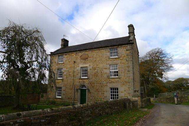
Image: © Tim Heaton Taken: 3 Nov 2021
Listed Grade II. The date stone reads: ERECTED IN 1646 BY G.C. REBUILT BY G.C. IN 1830
Images are licensed for reuse under creativecommons.org/licenses/by-sa/2.0
Image Location
Latitude
53.148026
Longitude
-1.849547