Moordown: former Congregational Church
Introduction
The photograph on this page of Moordown: former Congregational Church by Chris Downer as part of the Geograph project.
The Geograph project started in 2005 with the aim of publishing, organising and preserving representative images for every square kilometre of Great Britain, Ireland and the Isle of Man.

There are currently over 7.5m images from over 14,400 individuals and you can help contribute to the project by visiting https://www.geograph.org.uk
Moordown: former Congregational Church
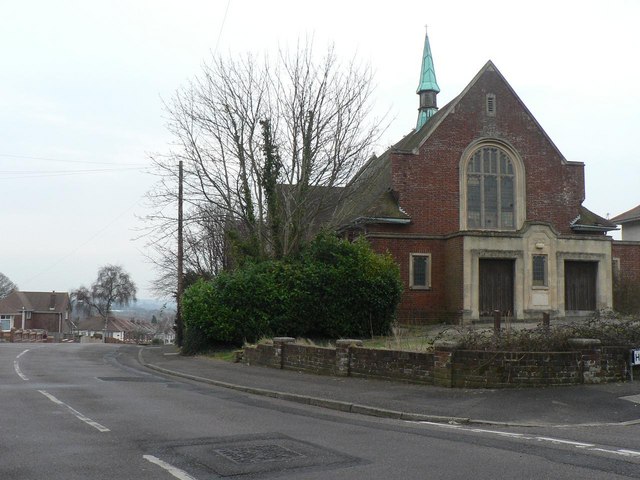
Image: © Chris Downer Taken: 24 Feb 2008
This church stands at the top of Priory View Road (which descends to the left of the picture and from here does indeed offer fine views across to Christchurch). It has lain unused for several years.
Images are licensed for reuse under creativecommons.org/licenses/by-sa/2.0
Image Location
Latitude
50.757135
Longitude
-1.871222