A64 and former pub
Introduction
The photograph on this page of A64 and former pub by DS Pugh as part of the Geograph project.
The Geograph project started in 2005 with the aim of publishing, organising and preserving representative images for every square kilometre of Great Britain, Ireland and the Isle of Man.

There are currently over 7.5m images from over 14,400 individuals and you can help contribute to the project by visiting https://www.geograph.org.uk
A64 and former pub
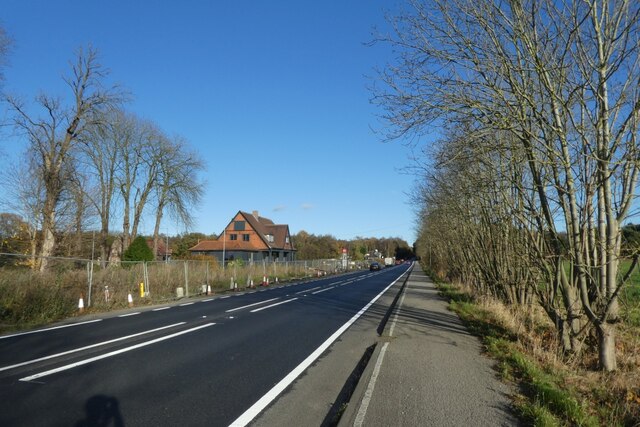
Image: © DS Pugh Taken: 20 Nov 2021
Looking along the cycle path beside the A64 towards the former Four Alls pub.
Images are licensed for reuse under creativecommons.org/licenses/by-sa/2.0
Image Location
Latitude
54.016485
Longitude
-0.982025