The top end of Highfield Allotments
Introduction
The photograph on this page of The top end of Highfield Allotments by Bill Boaden as part of the Geograph project.
The Geograph project started in 2005 with the aim of publishing, organising and preserving representative images for every square kilometre of Great Britain, Ireland and the Isle of Man.

There are currently over 7.5m images from over 14,400 individuals and you can help contribute to the project by visiting https://www.geograph.org.uk
The top end of Highfield Allotments
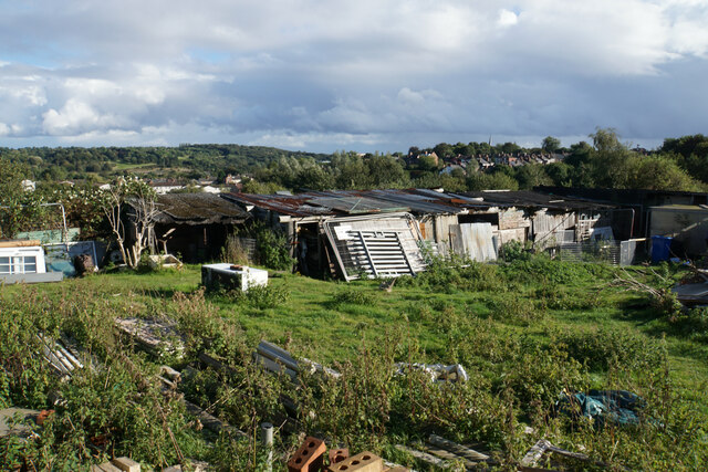
Image: © Bill Boaden Taken: 3 Oct 2021
The back of a row of sheds, which is probably not their best aspect. Some of the local undulations can be seen, and the bent spire is visible towards the right.
Images are licensed for reuse under creativecommons.org/licenses/by-sa/2.0
Image Location
Latitude
53.244574
Longitude
-1.433217