Normandy: A323 Guildford Road
Introduction
The photograph on this page of Normandy: A323 Guildford Road by Nigel Cox as part of the Geograph project.
The Geograph project started in 2005 with the aim of publishing, organising and preserving representative images for every square kilometre of Great Britain, Ireland and the Isle of Man.

There are currently over 7.5m images from over 14,400 individuals and you can help contribute to the project by visiting https://www.geograph.org.uk
Normandy: A323 Guildford Road
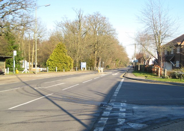
Image: © Nigel Cox Taken: 17 Feb 2008
The A323 viewed on a quiet Sunday afternoon from the junction with Glaziers Lane, which is on the right. Normandy's Royal British Legion hall is the white building just visible off to the left beyond the bus stop.
Images are licensed for reuse under creativecommons.org/licenses/by-sa/2.0
Image Location


Leaflet Map data © OpenStreetMap
Latitude
51.25514
Longitude
-0.673013