Winton: Bournemouth Community Church Centre
Introduction
The photograph on this page of Winton: Bournemouth Community Church Centre by Chris Downer as part of the Geograph project.
The Geograph project started in 2005 with the aim of publishing, organising and preserving representative images for every square kilometre of Great Britain, Ireland and the Isle of Man.

There are currently over 7.5m images from over 14,400 individuals and you can help contribute to the project by visiting https://www.geograph.org.uk
Winton: Bournemouth Community Church Centre
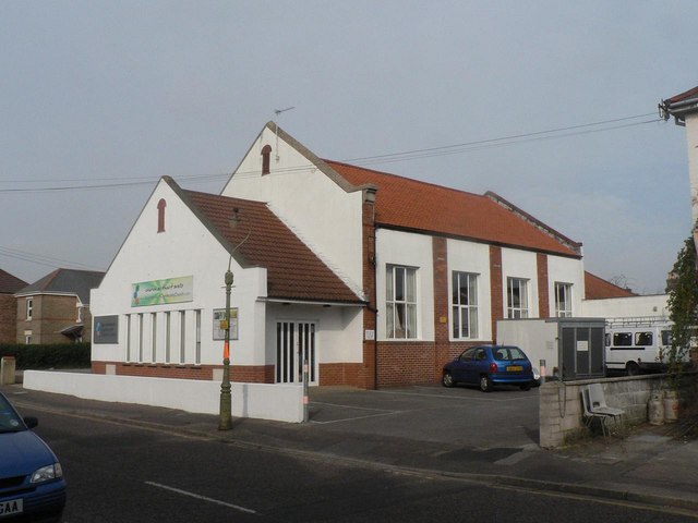
Image: © Chris Downer Taken: 24 Feb 2008
Situated in Calvin Road, according to the 1975 Kelly's Directory this was then the Winton Free Evangelical Church. It is now Bournemouth Community Church Centre, and in fairly recent years the porch section has been added, rather pleasingly mirroring the original façade.
Images are licensed for reuse under creativecommons.org/licenses/by-sa/2.0
Image Location


Leaflet Map data © OpenStreetMap
Latitude
50.745361
Longitude
-1.876923