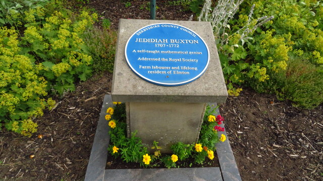
Blue plaque to Jedidiah Buxton at Elmton, Derbyshire
Introduction
The photograph on this page of Blue plaque to Jedidiah Buxton at Elmton, Derbyshire by Colin Park as part of the Geograph project.
The Geograph project started in 2005 with the aim of publishing, organising and preserving representative images for every square kilometre of Great Britain, Ireland and the Isle of Man.
There are currently over 7.5m images from over 14,400 individuals and you can help contribute to the project by visiting https://www.geograph.org.uk

Image: © Colin Park Taken: 29 Jul 2021
Buxton was born in 1707 and although his father was schoolmaster of Elmton, and his grandfather had been the vicar, he could not write; and his knowledge, except of numbers, was extremely limited. How he came to understand the relative proportions of numbers and their progressive denominations, he did not remember. However, this was his interest. He frequently took no notice of objects, and when he did, it was only with reference to their numbers. After hearing a sermon he knew nothing about its content other than that it contained a certain number of words which he had counted during its delivery. He measured the lands of Elmton, consisting of some thousand acres, simply by striding over it. He gave the area not only in acres, roods and perches, but even in square inches. After this, he reduced them into square hairs'-breadths, reckoning forty-eight to each side of the inch. His memory was so great, that in resolving a question he could leave off and resume the operation again at the same point after the lapse of several months. His perpetual application to figures prevented the acquisition of other knowledge. Among the examples of Buxton's arithmetical feats which are given are his calculation of the product of a farthing doubled 139 times. The result, expressed in pounds, extends to thirty-nine figures, and is correct so far as it can be readily verified by the use of logarithms. (source Wikipedia)

