East end of the Tinker's Hill ridge
Introduction
The photograph on this page of East end of the Tinker's Hill ridge by Richard Webb as part of the Geograph project.
The Geograph project started in 2005 with the aim of publishing, organising and preserving representative images for every square kilometre of Great Britain, Ireland and the Isle of Man.

There are currently over 7.5m images from over 14,400 individuals and you can help contribute to the project by visiting https://www.geograph.org.uk
East end of the Tinker's Hill ridge
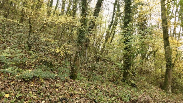
Image: © Richard Webb Taken: 18 Nov 2021
A Silurian limestone ridge, mostly wooded. Here the Ledwyche Brook flows through it with Caynham Camp on the opposite side.
Images are licensed for reuse under creativecommons.org/licenses/by-sa/2.0
Image Location
Latitude
52.357511
Longitude
-2.679946