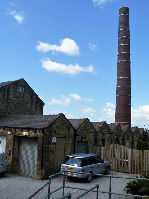
A walk from Skipton to Gargrave [7]
Introduction
The photograph on this page of A walk from Skipton to Gargrave [7] by Michael Dibb as part of the Geograph project.
The Geograph project started in 2005 with the aim of publishing, organising and preserving representative images for every square kilometre of Great Britain, Ireland and the Isle of Man.
There are currently over 7.5m images from over 14,400 individuals and you can help contribute to the project by visiting https://www.geograph.org.uk

Image: © Michael Dibb Taken: 22 Jun 2021
Marton Mills with its distinctive chimney. The mills are now divided into business units and occupied by a number of organizations. The walk follows the towpath of the Leeds and Liverpool Canal out of Skipton before following a lane onto the A6069 road. After crossing the A59 road at Inghey Bridge, the path runs across fields to pass underneath the railway. The path then runs alongside the railway before it veers right past Kirk Sink to Gargrave. About 4¼ miles.

