Public footpath by the northern edge of Cornelly Quarry (3)
Introduction
The photograph on this page of Public footpath by the northern edge of Cornelly Quarry (3) by eswales as part of the Geograph project.
The Geograph project started in 2005 with the aim of publishing, organising and preserving representative images for every square kilometre of Great Britain, Ireland and the Isle of Man.

There are currently over 7.5m images from over 14,400 individuals and you can help contribute to the project by visiting https://www.geograph.org.uk
Public footpath by the northern edge of Cornelly Quarry (3)
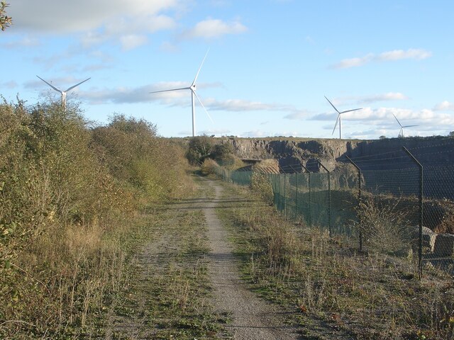
Image: © eswales Taken: 4 Nov 2021
After a sharp turn by a kissing gate, the public footpath which had been heading north-eastwards heads south-eastwards. Maps indicate that the public footpath ends more-or-less at the end of the stretch of track seen in the image.
Images are licensed for reuse under creativecommons.org/licenses/by-sa/2.0
Image Location
Latitude
51.51049
Longitude
-3.679428