Newsome Mills
Introduction
The photograph on this page of Newsome Mills by Chris Allen as part of the Geograph project.
The Geograph project started in 2005 with the aim of publishing, organising and preserving representative images for every square kilometre of Great Britain, Ireland and the Isle of Man.

There are currently over 7.5m images from over 14,400 individuals and you can help contribute to the project by visiting https://www.geograph.org.uk
Newsome Mills
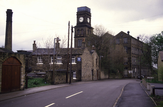
Image: © Chris Allen Taken: 1 May 1988
For generations a major local landmark. I'm saddened to hear that most of the site is to be demolished with only retention of the tower (and possibly the rest of the multistorey block?). The satellite shows a large area of sheds and they nearly always go to make way for houses. The chimney was offed a few years ago. I wonder if I could get such a car-less view today.
Images are licensed for reuse under creativecommons.org/licenses/by-sa/2.0
Image Location
Latitude
53.630159
Longitude
-1.781608