Churchfields Drive, Bovey Tracey
Introduction
The photograph on this page of Churchfields Drive, Bovey Tracey by Derek Harper as part of the Geograph project.
The Geograph project started in 2005 with the aim of publishing, organising and preserving representative images for every square kilometre of Great Britain, Ireland and the Isle of Man.

There are currently over 7.5m images from over 14,400 individuals and you can help contribute to the project by visiting https://www.geograph.org.uk
Churchfields Drive, Bovey Tracey
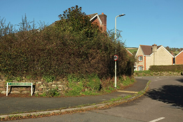
Image: © Derek Harper Taken: 14 Nov 2021
At the eastern junction with the B3344. The estate road winds around a good deal before rejoining Le Molay-Littry Way some 150 metres west.
Images are licensed for reuse under creativecommons.org/licenses/by-sa/2.0
Image Location
Latitude
50.591302
Longitude
-3.668112