Albany Road
Introduction
The photograph on this page of Albany Road by Ian Capper as part of the Geograph project.
The Geograph project started in 2005 with the aim of publishing, organising and preserving representative images for every square kilometre of Great Britain, Ireland and the Isle of Man.

There are currently over 7.5m images from over 14,400 individuals and you can help contribute to the project by visiting https://www.geograph.org.uk
Albany Road
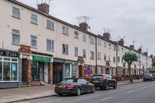
Image: © Ian Capper Taken: 25 Sep 2021
c.1930s terrace, first shown on the 1944 6 inch map, later than the rest of Albany Road.
Images are licensed for reuse under creativecommons.org/licenses/by-sa/2.0
Image Location


Leaflet Map data © OpenStreetMap
Latitude
52.400593
Longitude
-1.528263