Old Northwick Lane, Worcester
Introduction
The photograph on this page of Old Northwick Lane, Worcester by Chris Allen as part of the Geograph project.
The Geograph project started in 2005 with the aim of publishing, organising and preserving representative images for every square kilometre of Great Britain, Ireland and the Isle of Man.

There are currently over 7.5m images from over 14,400 individuals and you can help contribute to the project by visiting https://www.geograph.org.uk
Old Northwick Lane, Worcester
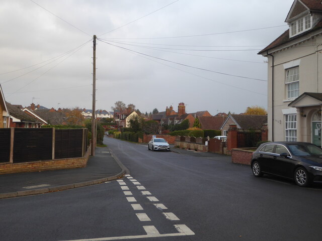
Image: © Chris Allen Taken: 12 Nov 2021
Seen from the junction with Lucerne Close. On the right is the Grade II Listed Northwick Grange Care Home.
Images are licensed for reuse under creativecommons.org/licenses/by-sa/2.0
Image Location
Latitude
52.219437
Longitude
-2.234452