Bradley fishing pond
Introduction
The photograph on this page of Bradley fishing pond by Derek Harper as part of the Geograph project.
The Geograph project started in 2005 with the aim of publishing, organising and preserving representative images for every square kilometre of Great Britain, Ireland and the Isle of Man.

There are currently over 7.5m images from over 14,400 individuals and you can help contribute to the project by visiting https://www.geograph.org.uk
Bradley fishing pond
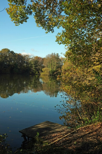
Image: © Derek Harper Taken: 14 Nov 2021
A fishing platform at the pond (formerly a clay pit) owned by the Newton Abbot Fishing Association.
Images are licensed for reuse under creativecommons.org/licenses/by-sa/2.0
Image Location
Latitude
50.587148
Longitude
-3.656663