Maplehurst Road, Hastings
Introduction
The photograph on this page of Maplehurst Road, Hastings by Patrick Roper as part of the Geograph project.
The Geograph project started in 2005 with the aim of publishing, organising and preserving representative images for every square kilometre of Great Britain, Ireland and the Isle of Man.

There are currently over 7.5m images from over 14,400 individuals and you can help contribute to the project by visiting https://www.geograph.org.uk
Maplehurst Road, Hastings
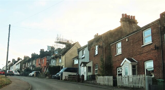
Image: © Patrick Roper Taken: 4 Nov 2021
A row of terraced houses on the northern outskirts of Hastings in the area known as 'The Harrow' after a pub at the top of the hill.
Images are licensed for reuse under creativecommons.org/licenses/by-sa/2.0
Image Location
Latitude
50.890455
Longitude
0.556213