Barnardiston: All Saints' Church and churchyard
Introduction
The photograph on this page of Barnardiston: All Saints' Church and churchyard by John Sutton as part of the Geograph project.
The Geograph project started in 2005 with the aim of publishing, organising and preserving representative images for every square kilometre of Great Britain, Ireland and the Isle of Man.

There are currently over 7.5m images from over 14,400 individuals and you can help contribute to the project by visiting https://www.geograph.org.uk
Barnardiston: All Saints' Church and churchyard
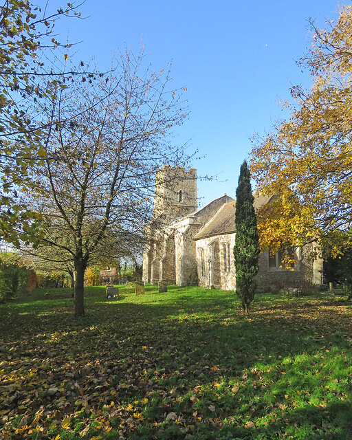
Image: © John Sutton Taken: 17 Nov 2021
Pleasing colours on a sunny November morning. The church is Grade II* listed and has 13th-, 14th- and 15th-century elements.
Images are licensed for reuse under creativecommons.org/licenses/by-sa/2.0
Image Location
Latitude
52.110132
Longitude
0.498342