Barnardiston: All Saints' Church and Church Cottage
Introduction
The photograph on this page of Barnardiston: All Saints' Church and Church Cottage by John Sutton as part of the Geograph project.
The Geograph project started in 2005 with the aim of publishing, organising and preserving representative images for every square kilometre of Great Britain, Ireland and the Isle of Man.

There are currently over 7.5m images from over 14,400 individuals and you can help contribute to the project by visiting https://www.geograph.org.uk
Barnardiston: All Saints' Church and Church Cottage
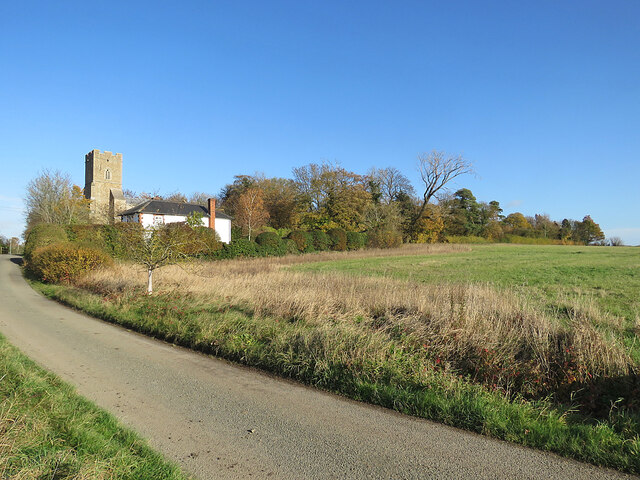
Image: © John Sutton Taken: 17 Nov 2021
Church Lane serves Leys Farm, then becomes a track to Kedington. The church is prettily placed on a hillock on the edge of the village. The picture was taken on a mild and sunny November morning.
Images are licensed for reuse under creativecommons.org/licenses/by-sa/2.0
Image Location
Latitude
52.10968
Longitude
0.498463