Information board at Northala Fields
Introduction
The photograph on this page of Information board at Northala Fields by Rod Allday as part of the Geograph project.
The Geograph project started in 2005 with the aim of publishing, organising and preserving representative images for every square kilometre of Great Britain, Ireland and the Isle of Man.

There are currently over 7.5m images from over 14,400 individuals and you can help contribute to the project by visiting https://www.geograph.org.uk
Information board at Northala Fields
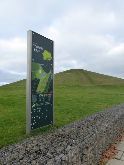
Image: © Rod Allday Taken: 13 Nov 2021
The park at Northala Fields was opened in 2008 and consists of four artificial hills standing next to the A40 Western Avenue, as well as several fishing lakes, a large field area a children's play area and adjacent café. The hills were constructed using rubble from the demolition of the original Wembley Stadium, which was closed in 2000 and demolished in 2003. The park was created as part of the Northolt and Greenford Country Park project, and backs onto the older Rectory Park. The name "Northala" is how the old manor of Northall (Northolt) was recorded in the Domesday Book in 1086.
Images are licensed for reuse under creativecommons.org/licenses/by-sa/2.0
Image Location
Latitude
51.538904
Longitude
-0.370908