Farm buildings and countryside to the north of Porthcawl
Introduction
The photograph on this page of Farm buildings and countryside to the north of Porthcawl by eswales as part of the Geograph project.
The Geograph project started in 2005 with the aim of publishing, organising and preserving representative images for every square kilometre of Great Britain, Ireland and the Isle of Man.

There are currently over 7.5m images from over 14,400 individuals and you can help contribute to the project by visiting https://www.geograph.org.uk
Farm buildings and countryside to the north of Porthcawl
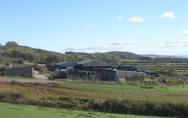
Image: © eswales Taken: 4 Nov 2021
The image is a view south east from Ty Coch Hill, the steep climb, or descent, at the western end of Mount Pleasant Road. Beyond the farm buildings, a ribbon of woodland runs along the bottom of the ridge north of the town towards Danygraig Woods.
Images are licensed for reuse under creativecommons.org/licenses/by-sa/2.0
Image Location
Latitude
51.500444
Longitude
-3.690153