Lane from Great Prideaux
Introduction
The photograph on this page of Lane from Great Prideaux by Derek Harper as part of the Geograph project.
The Geograph project started in 2005 with the aim of publishing, organising and preserving representative images for every square kilometre of Great Britain, Ireland and the Isle of Man.

There are currently over 7.5m images from over 14,400 individuals and you can help contribute to the project by visiting https://www.geograph.org.uk
Lane from Great Prideaux
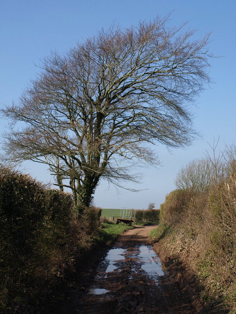
Image: © Derek Harper Taken: 17 Feb 2008
The public road comes to an end here, just past the beech tree, but continues as a track along Hewster's Hill before dropping to Noss Mayo.
Images are licensed for reuse under creativecommons.org/licenses/by-sa/2.0
Image Location
Latitude
50.31192
Longitude
-4.021527