Battle Garden, Kilwarlin.
Introduction
The photograph on this page of Battle Garden, Kilwarlin. by Dr Charles Nelson as part of the Geograph project.
The Geograph project started in 2005 with the aim of publishing, organising and preserving representative images for every square kilometre of Great Britain, Ireland and the Isle of Man.

There are currently over 7.5m images from over 14,400 individuals and you can help contribute to the project by visiting https://www.geograph.org.uk
Battle Garden, Kilwarlin.
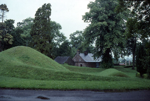
Image: © Dr Charles Nelson Taken: Unknown
This is beside the Moravian Church and represents the battlefield at Thermopylae; created by Bishop Zula, 1834-1844.
Images are licensed for reuse under creativecommons.org/licenses/by-sa/2.0
Image Location


Leaflet Map data © OpenStreetMap
Latitude
54.46332
Longitude
-6.137816