Old Bridge Marker on the A4133
Introduction
The photograph on this page of Old Bridge Marker on the A4133 by Roadside Relics as part of the Geograph project.
The Geograph project started in 2005 with the aim of publishing, organising and preserving representative images for every square kilometre of Great Britain, Ireland and the Isle of Man.

There are currently over 7.5m images from over 14,400 individuals and you can help contribute to the project by visiting https://www.geograph.org.uk
Old Bridge Marker on the A4133
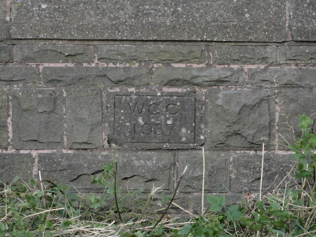
Image: © Roadside Relics Taken: 2 Sep 2021
Bridge Marker inscribed in the north parapet of Ward's Bridge, Hadley Brook, on the A4133. On the boundary of Ombersley, Westwood and Salwarpe parishes. Milestone Society National ID: WO_OMWESA01br
Images are licensed for reuse under creativecommons.org/licenses/by-sa/2.0
Image Location
Latitude
52.266731
Longitude
-2.191899