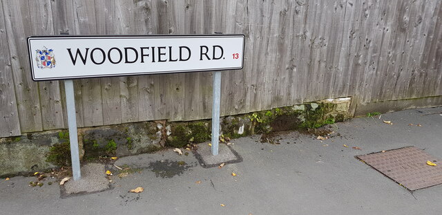
Upside Down Cut Benchmark, Woodfield Road
Introduction
The photograph on this page of Upside Down Cut Benchmark, Woodfield Road by Paul Collins as part of the Geograph project.
The Geograph project started in 2005 with the aim of publishing, organising and preserving representative images for every square kilometre of Great Britain, Ireland and the Isle of Man.
There are currently over 7.5m images from over 14,400 individuals and you can help contribute to the project by visiting https://www.geograph.org.uk

Image: © Paul Collins Taken: 14 Nov 2021
Where possible, Ordnance Survey staff cut benchmarks so that the mark straddled two bricks or stones. This meant that in the event that the wall was rebuilt, the disturbance of the benchmark would be obvious. But the wall onto which this benchmark was placed was built of large blocks with bevelled edges and the mark had to be cut into a single stone. The fact that the wall has since been rebuilt is evident not only from the fact that it is now only a single course high but also by the fact that the benchmark is now upside down. It can be seen halfway between the sign and the inspection cover.

