High St, Doynton
Introduction
The photograph on this page of High St, Doynton by HelenK as part of the Geograph project.
The Geograph project started in 2005 with the aim of publishing, organising and preserving representative images for every square kilometre of Great Britain, Ireland and the Isle of Man.

There are currently over 7.5m images from over 14,400 individuals and you can help contribute to the project by visiting https://www.geograph.org.uk
High St, Doynton
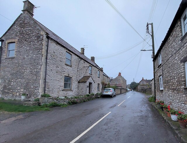
Image: © HelenK Taken: 12 Nov 2021
There is now nothing in particular to single out this street from others in the village apart from a pub at the far end. The house in the distance on the left was once the post office. High St extends north-west out of the village but is not a sensible route out of it unless you are going to local farms.
Images are licensed for reuse under creativecommons.org/licenses/by-sa/2.0
Image Location


Leaflet Map data © OpenStreetMap
Latitude
51.464716
Longitude
-2.40618