Plantation woodland near Park Farm
Introduction
The photograph on this page of Plantation woodland near Park Farm by Alan Murray-Rust as part of the Geograph project.
The Geograph project started in 2005 with the aim of publishing, organising and preserving representative images for every square kilometre of Great Britain, Ireland and the Isle of Man.

There are currently over 7.5m images from over 14,400 individuals and you can help contribute to the project by visiting https://www.geograph.org.uk
Plantation woodland near Park Farm
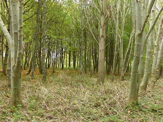
Image: © Alan Murray-Rust Taken: 9 Nov 2021
The 1:25000 mapping still shows this part of the wood as open land, although the size of the trees shows that the planting must be 20-30 years old.
Images are licensed for reuse under creativecommons.org/licenses/by-sa/2.0
Image Location
Latitude
53.07154
Longitude
-0.945636