Skipton features [21]
Introduction
The photograph on this page of Skipton features [21] by Michael Dibb as part of the Geograph project.
The Geograph project started in 2005 with the aim of publishing, organising and preserving representative images for every square kilometre of Great Britain, Ireland and the Isle of Man.
There are currently over 7.5m images from over 14,400 individuals and you can help contribute to the project by visiting https://www.geograph.org.uk

Image: © Michael Dibb Taken: 25 Jun 2021
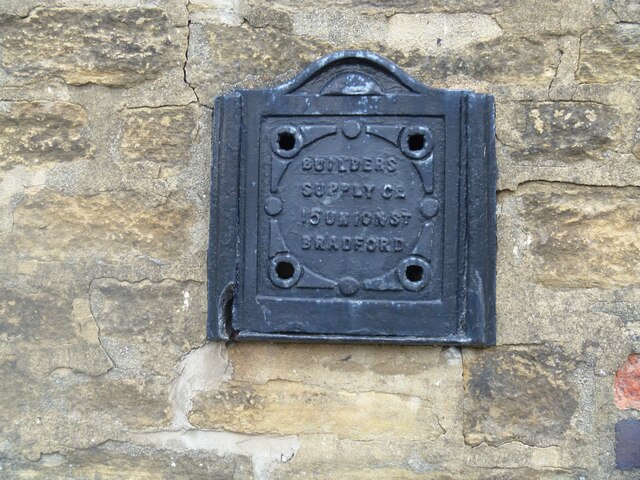
Seen in the alleyway between Neville Street and Devonshire Street is this coal store cover. In the days of coal heating, the coal delivery would be poured through the opening in the coal store (better known in Yorkshire as the "coal 'ole"). Skipton is a market town in North Yorkshire, some 27 miles northwest of Leeds. On the southern edge of the Yorkshire Dales National Park, it is now an important tourist destination. The town expanded after the construction of Skipton Castle in the 11th century. The Leeds and Liverpool Canal runs through the town and the River Aire flows just to the southwest. The name Skipton means 'sheep-town'.

