Underground and Overground
Introduction
The photograph on this page of Underground and Overground by Simon Carey as part of the Geograph project.
The Geograph project started in 2005 with the aim of publishing, organising and preserving representative images for every square kilometre of Great Britain, Ireland and the Isle of Man.

There are currently over 7.5m images from over 14,400 individuals and you can help contribute to the project by visiting https://www.geograph.org.uk
Underground and Overground
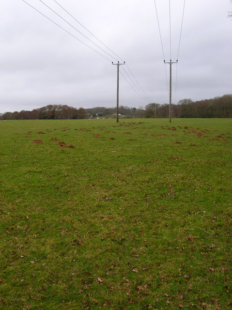
Image: © Simon Carey Taken: 22 Feb 2008
Moles underneath and telephone wires over the top. Wet Wood is in the background to the right and taken from the footpath that links Barnhorn Road with Gotham Farm.
Images are licensed for reuse under creativecommons.org/licenses/by-sa/2.0
Image Location
Latitude
50.85113
Longitude
0.426616