Benchmark on boulder in roadside hedge of Southwaite House
Introduction
The photograph on this page of Benchmark on boulder in roadside hedge of Southwaite House by Roger Templeman as part of the Geograph project.
The Geograph project started in 2005 with the aim of publishing, organising and preserving representative images for every square kilometre of Great Britain, Ireland and the Isle of Man.

There are currently over 7.5m images from over 14,400 individuals and you can help contribute to the project by visiting https://www.geograph.org.uk
Benchmark on boulder in roadside hedge of Southwaite House
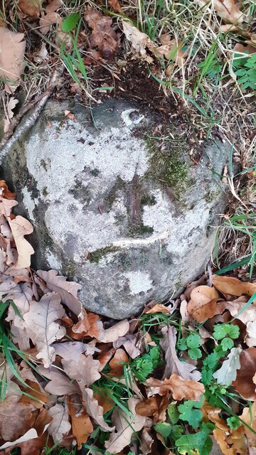
Image: © Roger Templeman Taken: 10 Nov 2021
Ordnance Survey rivet benchmark which may be the one described in Ordnance Survey documents as levelled at 102.907m above Newlyn Datum verified in 1969, although there is uncertainty as there is a stone just 2m east of this boulder with a benchmark on its top Image
Images are licensed for reuse under creativecommons.org/licenses/by-sa/2.0
Image Location
Latitude
54.79854
Longitude
-2.837784