Locking village hall
Introduction
The photograph on this page of Locking village hall by Neil Owen as part of the Geograph project.
The Geograph project started in 2005 with the aim of publishing, organising and preserving representative images for every square kilometre of Great Britain, Ireland and the Isle of Man.

There are currently over 7.5m images from over 14,400 individuals and you can help contribute to the project by visiting https://www.geograph.org.uk
Locking village hall
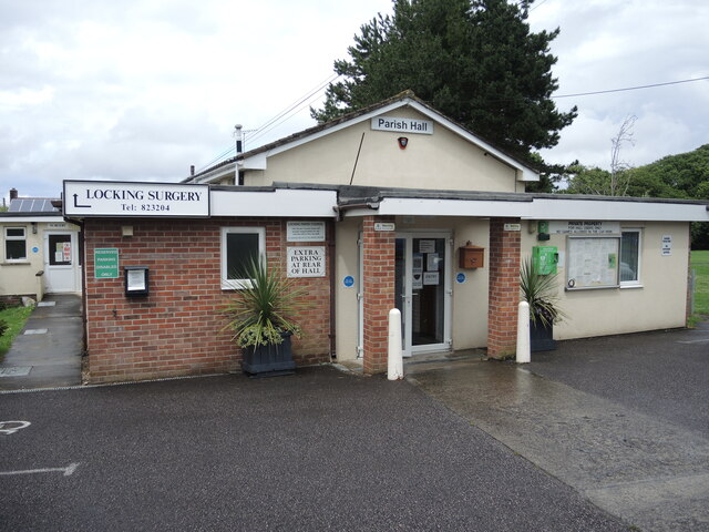
Image: © Neil Owen Taken: 3 Jul 2021
Located beside the recreation ground, with a surgery adjoining. For more urgent help a new defibrillator has been acquired.
Images are licensed for reuse under creativecommons.org/licenses/by-sa/2.0
Image Location
Latitude
51.333537
Longitude
-2.914735